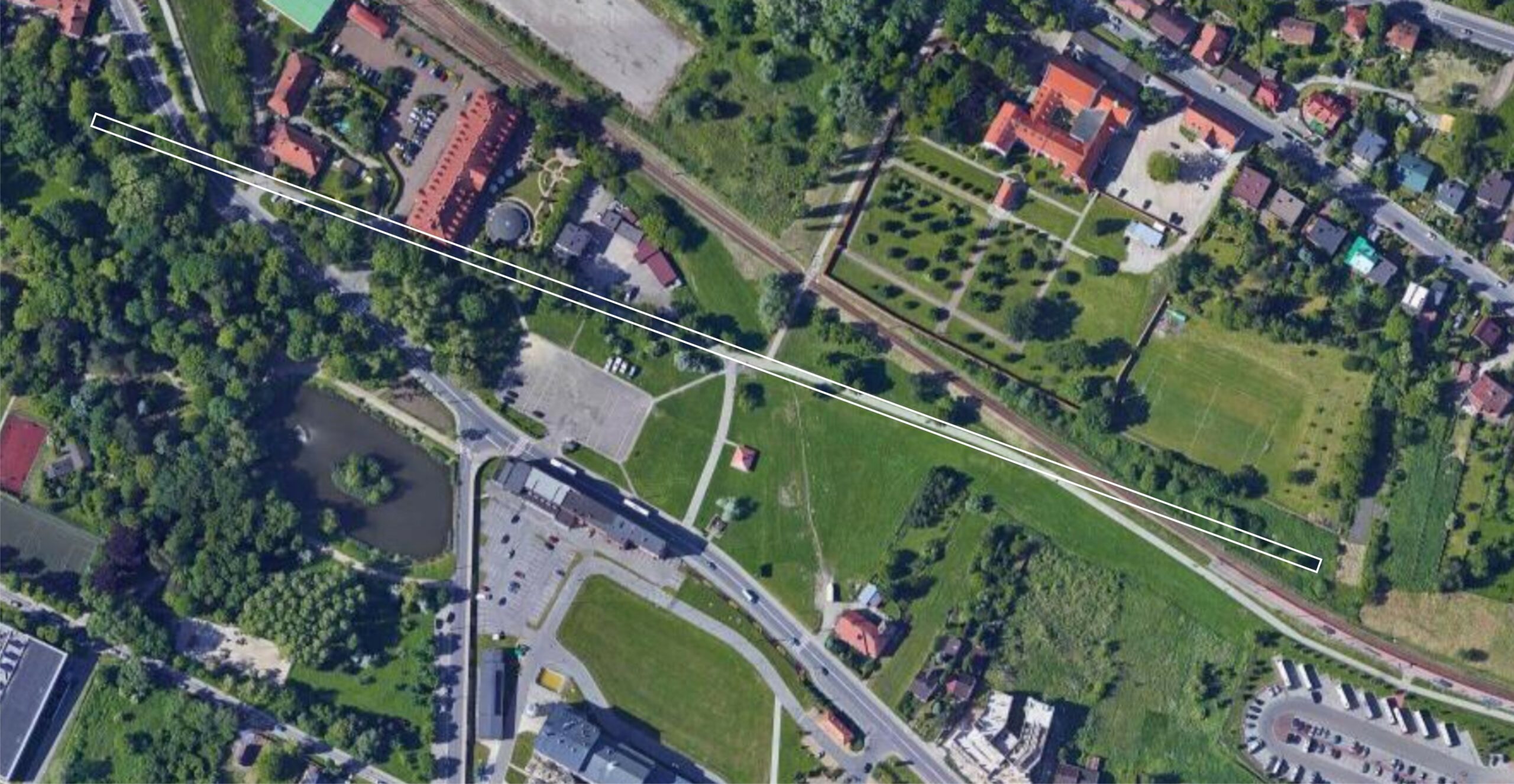
The location – is not accidental. It’s the former K. u K. Salinarny Trakt Powroźniczy (Ropemakers Salinar Way) on Turowka where, from the late 18th to mid-19th centuries, ropemakers produced hemp ropes for the Wieliczka mine. It was laid out in the valley of the Srawa River, in an undeveloped area. The track was about 550 meters long, and ropemakers twisted shaft ropes up to 200 sążni (unit similar to fathoms, about 380 meters) long on it. However, only on sunny days, as the track had no roofing. In 1853, the Treasury Ministry in Vienna ordered the supply of wire (steel) ropes – more durable and cheaper than hemp ropes – to the hoisting shafts in Wieliczka. The career of the hemp rope was already coming to an end….
How to find this place today?
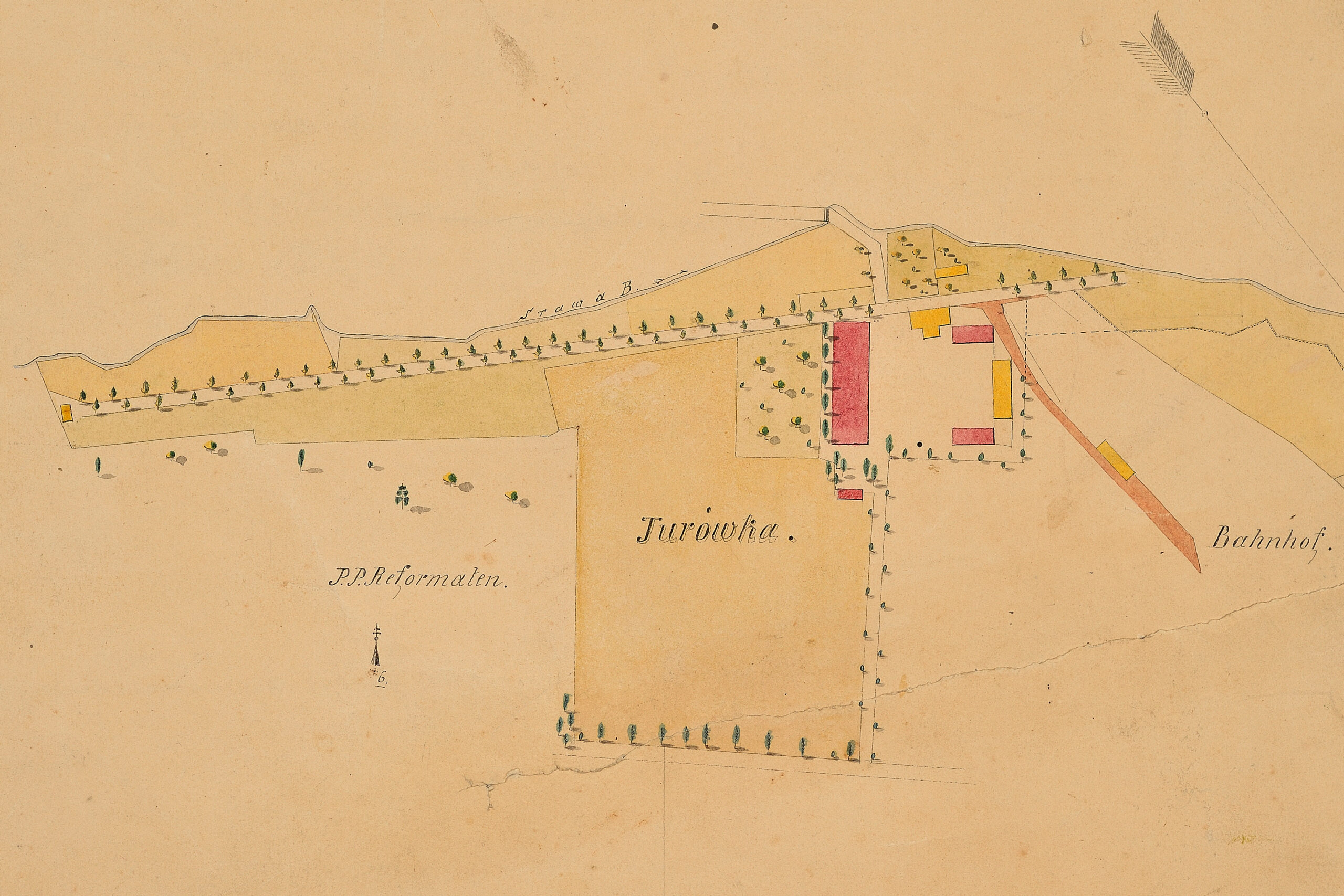
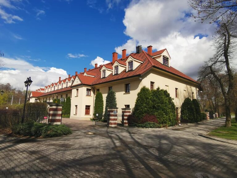
It’s an open area between the Trakt Powroźników (Ropemakers Way) and the Trakt Solny (Salinary Way) in Wieliczka, between the Turówka hotel and the Wieliczka Rynek – Kopalnia railroad station, below the Franciscan-Reformed monastery.
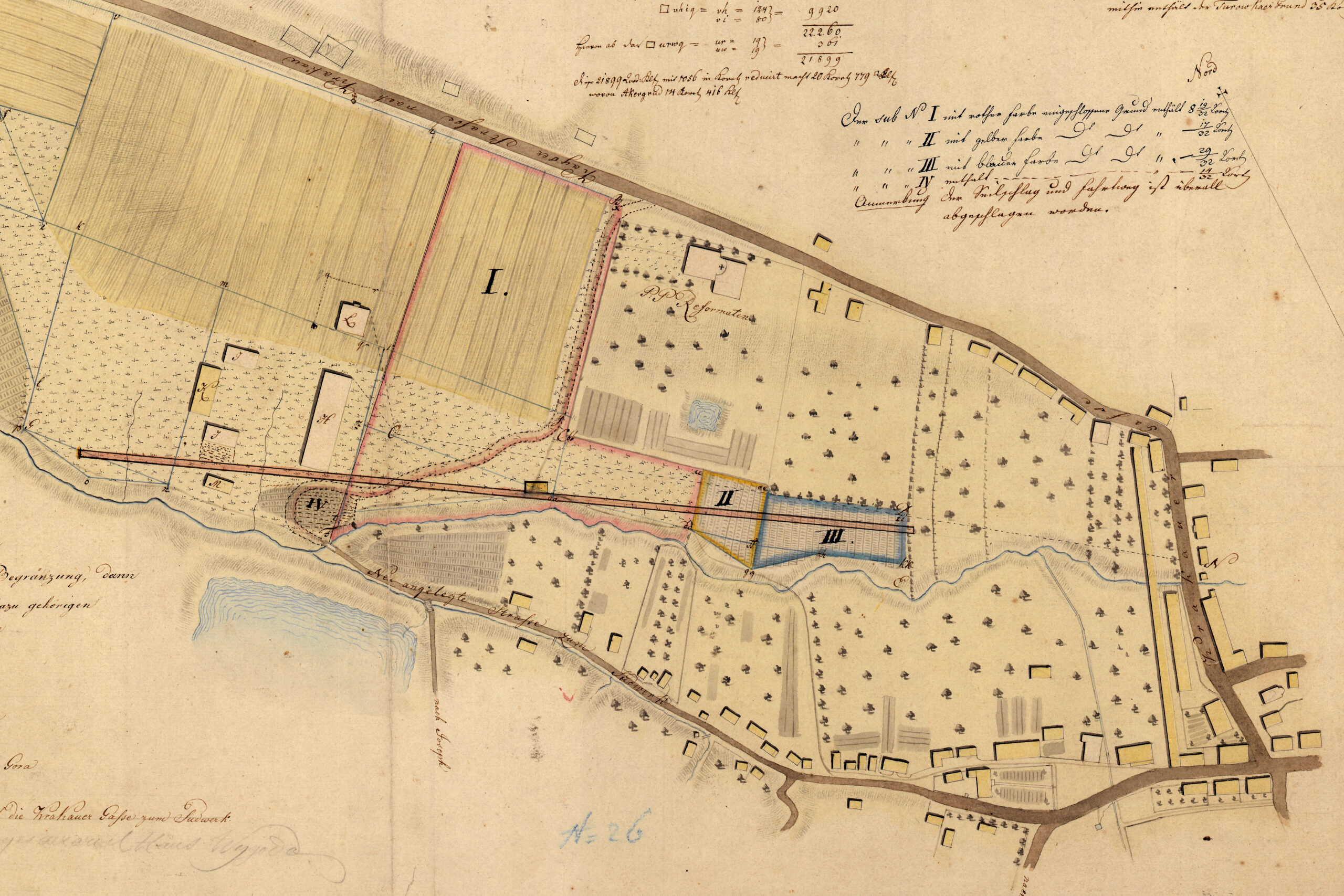
N. Hrdina, Situstions Plan des Turowkaer Grundes samt dessen Begränzung dann der Locirung des Sudwerks und der dazu gehörigen Manipulations Gebäuden, 1813, Cartographic Collection of the Cracow Saltworks Museum Wieliczka – situational plan of Turowka land with brewhouse and outbuildings.
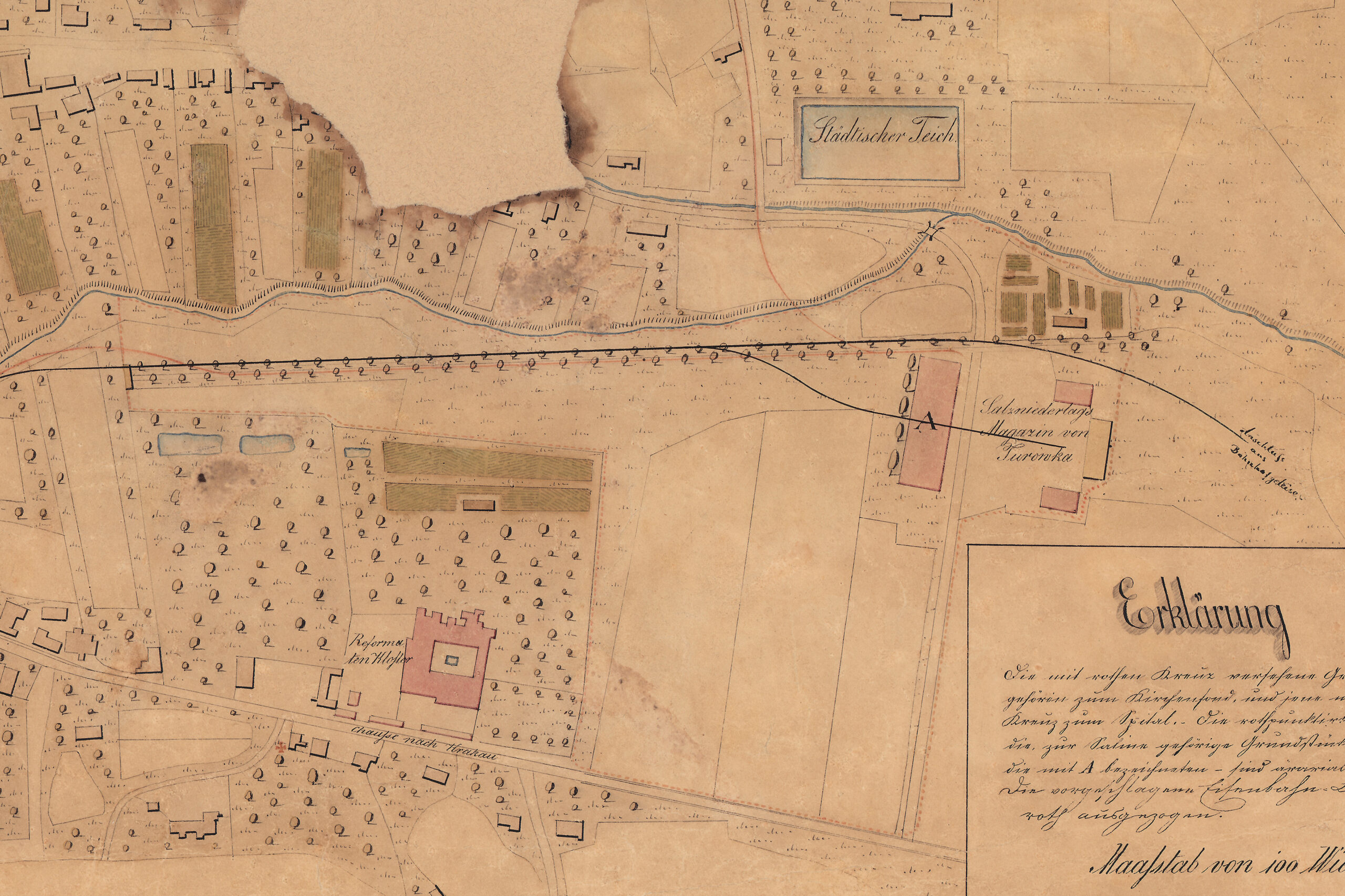
E. Hrdina, A. Riel, Plan der K.K. freien Bergstadt Wieliczka behufs der projectirten Eisenbahnen, mid-19th century, Cartographic Collection of the Cracow Saltworks Museum Wieliczka – town plan with variants of the course of the projected railroad line.
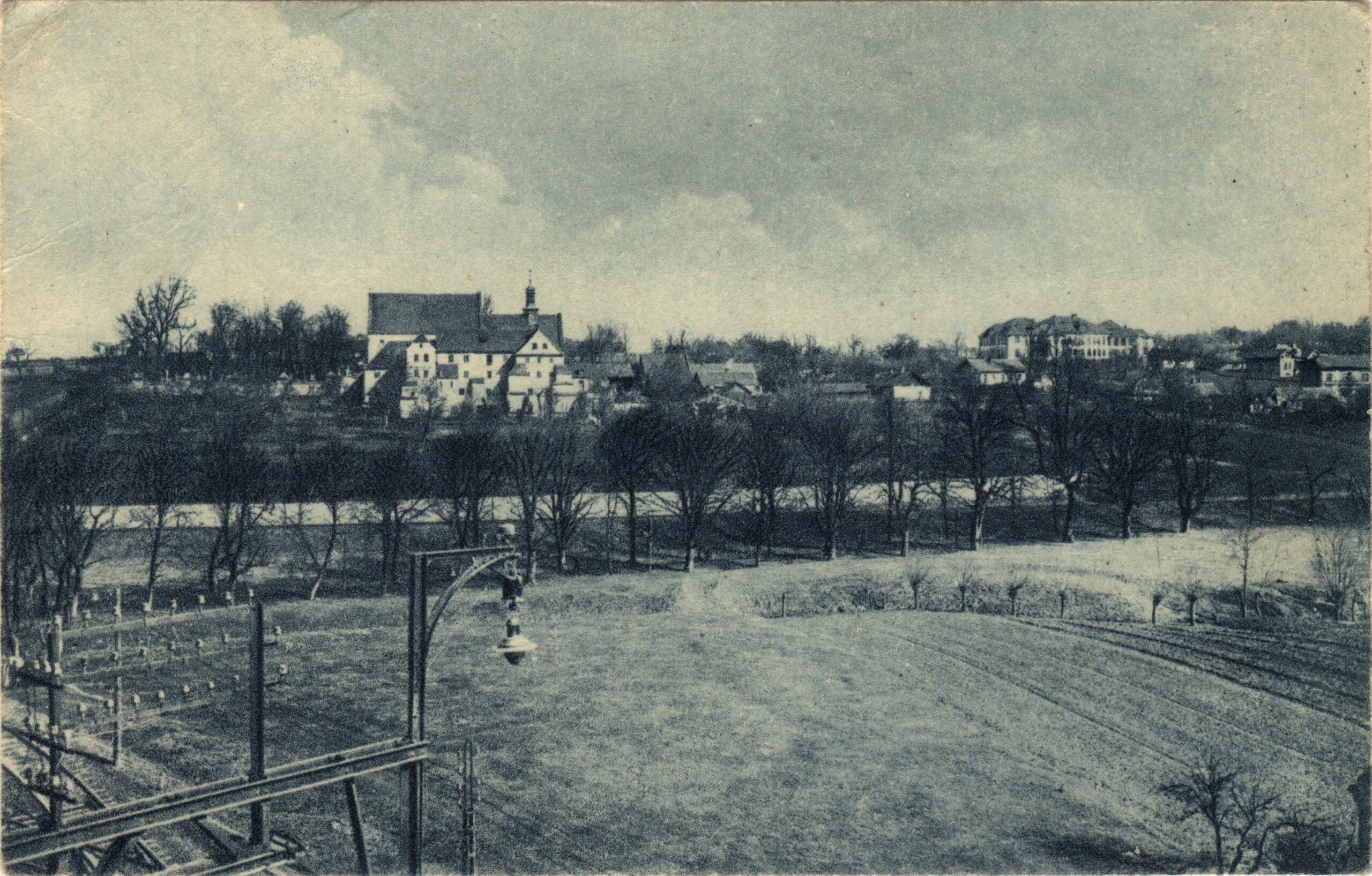
Wieliczka. Monastery of the Reformati Friars from 1687, published and photographed by W. Gargul, post card, Wieliczka 1922.